Landslides Zonation Maps: Roadmap to Comprehensive Resilience in Chimanimani and Chipinge Districts under ZIRP
ZIRP is geared to enhance the coping capacity of Cyclone Idai affected communities by restoring community productive capacities and rehabilitation of critical community infrastructure across multiple sectors. Building resilience through the monitoring of natural hazards, such as landslides, is essential to avoid further devastation.
In April, UNESCO Regional Office for Southern Africa (ROSA) was brought on board to support comprehensive Resilience Building In Chimanimani and Chipinge Districts. The project’s overall objective is to reduce the vulnerability of communities to natural disasters, such as floods, droughts and landslides, and enhance water resource management and ecosystem services in response to the uncertainty of future climate change. This includes establishing a biosphere sphere reserve in Chimanimani National Park, disaster risk mapping and strengthening the early warning systems.
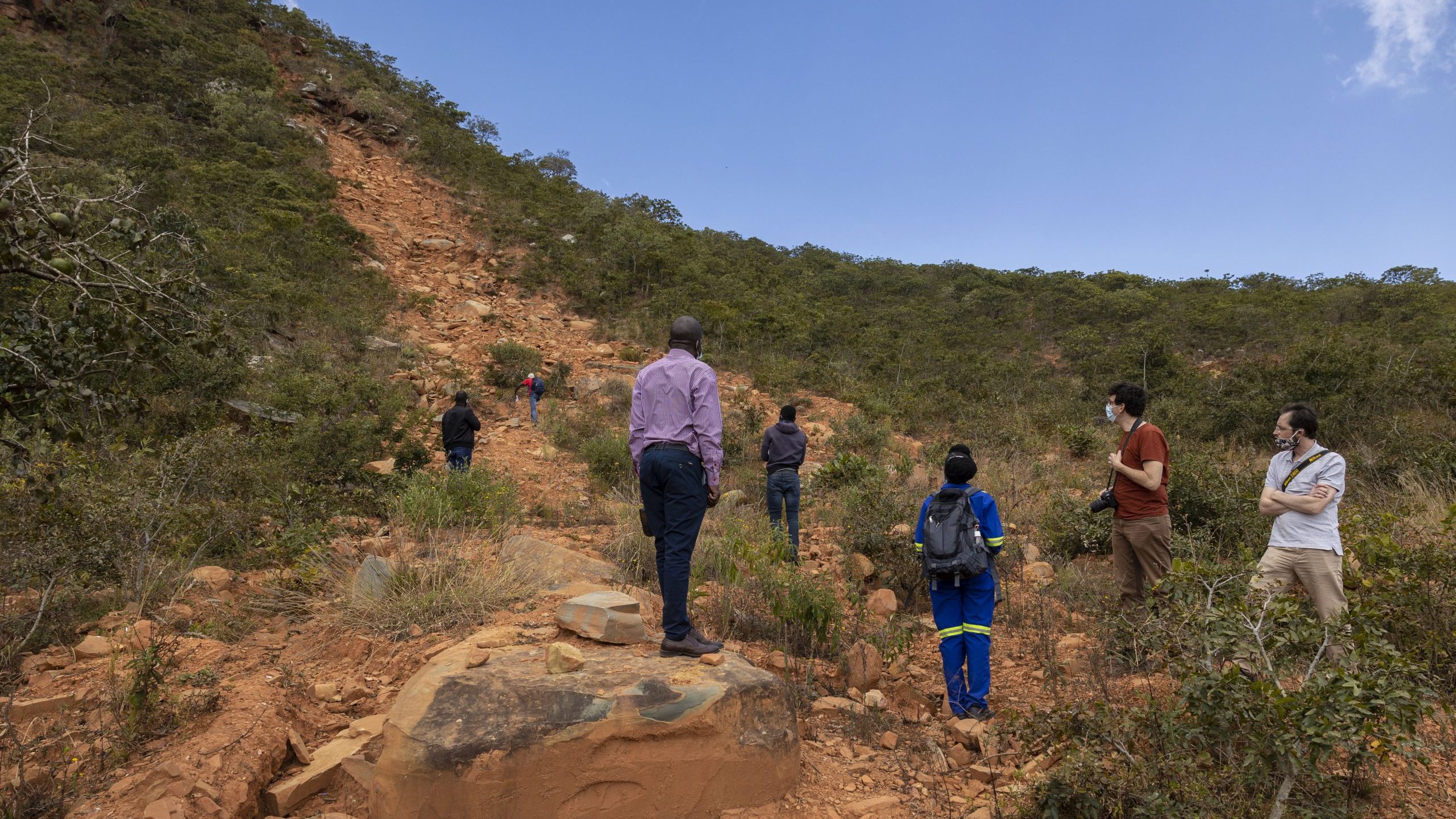
In a recent media briefing, UNESCO shared information on the field assessments that have been conducted so far. Prof. Martiale Zebaze Kana, a Programme Specialist from UNESCO, explained, “we are working to develop landslide monitoring networks through this project. Development of landslide susceptibility maps that indicate landslides hazards in the two districts is the first step. The initiative also allows us to understand the drivers of these destructive events and to identify a pathway for mitigation of their impacts. Additionally, a better understanding of their origin will provide information that can lead to the development of a landslide early warning system for the area”.
Landslide Mapping is a primary step for planning and preparation for future landslides. ZIRP will develop high-resolution landslide zonation maps and the design of early warning systems in Chipinge and Chimanimani. This proactive approach to disaster risk management will inform land-use planning and feed into the selection of sites for resilience building to reduce community hazard risk vulnerability through community-level structural and non-structural rehabilitation development.
Speaking during the brief, Mr Nicholas Callender, World Bank Disaster Risk Management Specialist, explained, “Studies indicate that Chipinge and Chimanimani, which were worst hit by Cyclone Idai, are prone to climate shocks, therefore imperative that comprehensive resilience-building be implemented to reduce the vulnerability of these communities. ”
By applying a climate change adaptation framework, comprehensive resilience-building will reduce the magnitude of devastation in these communities through future disasters.