Comprehensive resilience building

The overall objective of this initiative is to reduce the vulnerability of communities  in the Chimanimani and Chipinge Districts to natural disasters, such as floods, droughts and  landslides; and to enhance water resource management as well as ecosystem services in  response to the uncertainty of future climate change.

The project is designed to approach the water-related risk and vulnerability through an  integrated strategy that targets several aspects of disaster risk reduction, and provides  scalable implementation of the project through a modular pathway and the development of  case studies in target flood and landslide prone areas. For more results follow: https://en.unesco.org/be-resilient_zim

Results as of 31 January 2023
flood

Flood hazard mapping completed and flood hazard maps at 1 arc second (~30m) spatial resolution for the Chipinge and Chimanimani Districts produced. These allow greater resolution of terrain features and flooding in these regions were developed.

map

Field assessment of landslide hazards and susceptibility done in Chimanimani and Chipinge. A set of landslide exposure maps was developed, identifying hotspots of landslide impact, particularly on the population, schools, roads and bridges.

storm

Climate Stress Test development (model setup and climate analysis) completed

radio

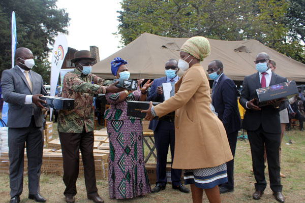
2 Community Radios were launched and are currently broadcasting

analysis

22 green houses have been completed to date, There are currently 40 BSF early adaptors who have constructed feeding troughs and green houses that have been identified in addition to the 22 Lead farmers that the project has been working with.

Beneficiary quotes

Radio stations

“We felt helpless in the aftermath of the Cyclone and are happy that now we can participate in spreading early warnings to help our communities prepare better in the future,”

One of the participants at the radio launch